Borders Built on Compromise, Defended Like Scripture: How America's Arbitrary Lines Became Sacred Ground
The boundary between Kentucky and Tennessee is a straight line. So is the boundary between North and South Dakota. So, very nearly, are the boundaries of Colorado, Wyoming, and Utah — rectangles stamped onto a landscape that had no interest in rectangles, drawn by surveyors who were working as fast as they could across terrain that was actively trying to kill them.
These are not the borders of ancient tribes. They are the borders of congressional committees. And yet people will tell you, with complete sincerity, that they are Kentuckians or Tennesseans in some way that is fundamental to who they are — a distinction maintained by a surveyor's line that, had the chain been laid down slightly differently on a given afternoon in 1779, would have placed their ancestors on the other side.
This is not a failure of reason. It is a feature of human psychology that has been documented across every culture and every era for which records exist. The question worth asking is not why it happens, but what it costs when political actors learn to exploit it.
The Convenience That Became a Covenant
The Missouri Compromise of 1820 drew a line at 36°30' north latitude and declared that slavery would be prohibited north of it in the territories acquired through the Louisiana Purchase. The line was a political solution to a political problem — a number chosen because it split the difference between competing sectional demands with enough mathematical precision to seem principled. It was, in the most literal sense, a convenience.
Within a generation, that line had become something close to sacred. Southern politicians spoke of it as a guarantee, a promise, a foundational compact. Northern politicians spoke of it as a moral boundary. When the Kansas-Nebraska Act of 1854 repealed it, the reaction was not merely political disappointment — it was experienced as a kind of desecration. The line that had been drawn for administrative convenience had acquired, over thirty-four years of use, the emotional weight of a covenant.
This transformation — from bureaucratic instrument to cultural identity — is not unique to the Missouri Compromise. It is the standard trajectory of political boundaries when they are inhabited long enough. The border between Virginia and West Virginia, drawn during the Civil War when Unionist counties in the western part of the state voted to separate, is still a meaningful cultural divide today — not because the underlying cultural differences between the two states are so vast, but because the existence of the line, maintained and reinforced over 160 years of separate governance, has gradually made the differences it claimed to reflect more real.
The Surveyor's Error as Political Destiny
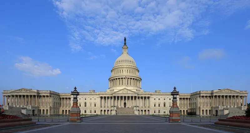
American state boundaries contain a remarkable number of errors, approximations, and outright miscalculations that have had lasting political consequences. The Mason-Dixon Line — the boundary between Pennsylvania and Maryland that became the symbolic divide between North and South — was itself the product of a legal dispute between the Penn and Calvert families that was resolved by two English astronomers hired to settle it. Charles Mason and Jeremiah Dixon spent four years in the 1760s running a line through wilderness, correcting for magnetic variation, and doing the best they could with the technology available to them.
The line they drew was not perfect. Subsequent surveys have found small discrepancies. But the imperfect line became the most symbolically loaded boundary in American history — the dividing line between free and slave states, between North and South, between two visions of what America was and ought to be. The weight that line has carried is entirely disproportionate to the process that produced it.
This is not unusual. It is, historically, the rule. The boundaries of the Roman provinces were drawn for administrative convenience and became, within a few generations, the foundations of distinct regional identities that outlasted the empire itself. The borders of the Balkan states, drawn and redrawn by exhausted diplomats at successive nineteenth-century conferences, became lines that people were willing to kill and die for within decades of their creation. Human beings are remarkably efficient at converting administrative categories into existential ones.
The Redistricting Wars and the Technology of Division
Modern redistricting has introduced a new dimension to this old dynamic. The congressional district — a unit of political geography that is explicitly designed to be redrawn every ten years — has become, paradoxically, one of the most powerful engines of political identity formation in contemporary American life.
The mechanism is not complicated. When a district's boundaries are drawn to concentrate voters of a particular political persuasion, the representatives that district produces are accountable primarily to that persuasion. Those representatives, in turn, reinforce and amplify the political identity of their constituents. The district becomes a feedback loop — a self-reinforcing unit of political culture that grows more internally coherent and more externally hostile with each election cycle.
What makes this particularly interesting from a historical perspective is that the technology now available to redistricting commissions — precinct-level voting data, demographic modeling, sophisticated mapping software — allows for a precision of division that earlier generations of mapmakers could not have imagined. The Mason-Dixon Line was drawn by men doing their best with chains and astronomical instruments. Modern district maps are drawn with algorithms that can optimize for partisan outcome down to individual city blocks.
The result is boundaries that are, in one sense, more deliberately constructed than any that preceded them — and that are, in another sense, producing exactly the same psychological effect that accidental boundaries have always produced. People who live in a district that has been carefully engineered to be safe for one party do not experience their political identity as an artifact of mapmaking. They experience it as a reflection of who they genuinely are.
The Sunbelt and the Remaking of Regional Identity
The political realignment of the American South and Southwest over the second half of the twentieth century offers a useful case study in how quickly new regional identities can solidify around lines that were, not long before, politically ambiguous.
Arizona, Texas, and Florida were not, in 1950, the monolithically Republican strongholds they would become. Their political geography was contested, complicated, shaped by local conditions that did not map neatly onto national partisan divisions. The migration patterns of the following decades — retirees from the Midwest, defense industry workers, technology sector employees — gradually transformed their demographics and, with them, their political identities.
By the 1990s, the term 'Sunbelt' had acquired a political meaning that was nearly as freighted as 'the South' had been a generation earlier. The region's political identity had hardened around a set of assumptions — about taxes, about the role of government, about cultural values — that were understood to be distinctively Sunbelt in character. The fact that these assumptions were the product of a relatively recent demographic accident rather than deep historical roots did not make them feel any less foundational to the people who held them.
What the Lines Actually Reveal
The history of American political geography is, at its core, a history of the human tendency to naturalize what is contingent — to take the circumstances of one's birth and the administrative boundaries of one's residence and convert them into something that feels like fate.
This tendency is not irrational. It is, in fact, deeply functional. Communities need shared identities to sustain the cooperation that makes governance possible. The problem arises when the boundaries that generate those identities are manipulated — when the lines are drawn not to facilitate governance but to entrench advantage, when the natural human tendency to defend one's territory is deliberately activated in service of partisan goals that have nothing to do with the communities being divided.
The surveyor's chain was a practical instrument. The algorithm is a political one. The psychology they are exploiting is exactly the same.
And the people on either side of the line will tell you, with equal conviction, that the difference between them was always real.